
Lac des Quatre Cantons topographic map
Interactive map
Click on the map to display elevation.
About this map
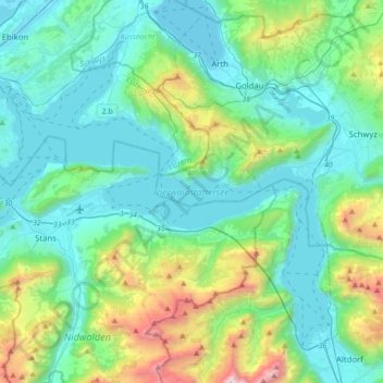
Name: Lac des Quatre Cantons topographic map, elevation, terrain.
Location: Lac des Quatre Cantons, Gersau, Schwyz, Suisse (46.88869 8.27878 47.08219 8.62500)
Average elevation: 886 m
Minimum elevation: 409 m
Maximum elevation: 2,816 m
Other topographic maps
Click on a map to view its topography, its elevation and its terrain.