
Thank you for supporting this site ❤️
Make a donation
Make a donation
Bois de Nèfles topographic map
Click on the map to display elevation.
Thank you for supporting this site ❤️
Make a donation
Make a donation
About this map
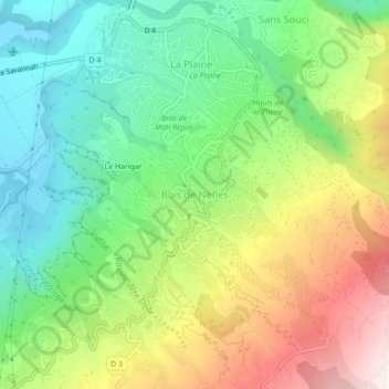
Name: Bois de Nèfles topographic map, elevation, terrain.
Location: Bois de Nèfles, Saint-Paul, Réunion, 97411, France (-21.01499 55.30725 -20.97499 55.34725)
Average elevation: 382 m
Minimum elevation: 7 m
Maximum elevation: 975 m
Thank you for supporting this site ❤️
Make a donation
Make a donation