
Emmels topographic map
Interactive map
Click on the map to display elevation.
About this map
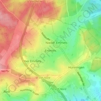
Name: Emmels topographic map, elevation, terrain.
Location: Emmels, Saint-Vith, Verviers, Liège, Wallonie, 4780, Belgique (50.28327 6.07778 50.32327 6.11778)
Average elevation: 519 m
Minimum elevation: 459 m
Maximum elevation: 582 m