
Elig Bessola topographic map
Interactive map
Click on the map to display elevation.
About this map
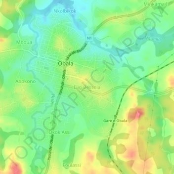
Name: Elig Bessola topographic map, elevation, terrain.
Location: Elig Bessola, Obala, Lekié, Centre, Cameroun (4.14024 11.51959 4.18024 11.55959)
Average elevation: 541 m
Minimum elevation: 512 m
Maximum elevation: 585 m