
Diernæs topographic map
Interactive map
Click on the map to display elevation.
About this map
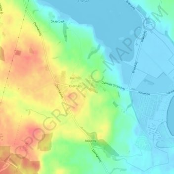
Name: Diernæs topographic map, elevation, terrain.
Location: Diernæs, Kommune Hadersleben, Region Süddänemark, Dänemark (55.15581 9.46581 55.16041 9.47893)
Average elevation: 23 m
Minimum elevation: -5 m
Maximum elevation: 63 m