
Kampung Sapit topographic map
Interactive map
Click on the map to display elevation.
About this map
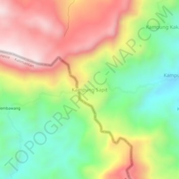
Name: Kampung Sapit topographic map, elevation, terrain.
Location: Kampung Sapit, Kuching, Kuching Division, Sarawak, Malaysia (1.15737 110.17783 1.19737 110.21783)
Average elevation: 433 m
Minimum elevation: 87 m
Maximum elevation: 839 m
Other topographic maps
Click on a map to view its topography, its elevation and its terrain.