
Joutsa topographic map
Interactive map
Click on the map to display elevation.
About this map
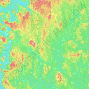
Name: Joutsa topographic map, elevation, terrain.
Location: Joutsa, Finlande centrale, Manner-Suomi, Finlande (61.60844 25.84465 62.04342 26.53303)
Average elevation: 115 m
Minimum elevation: 76 m
Maximum elevation: 235 m