
Kabergheide topographic map
Interactive map
Click on the map to display elevation.
About this map
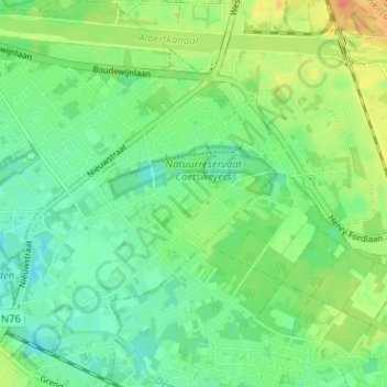
Name: Kabergheide topographic map, elevation, terrain.
Location: Kabergheide, Diepenbeek, Hasselt, Limburg, 3590, België (50.90054 5.44563 50.94054 5.48563)
Average elevation: 44 m
Minimum elevation: 29 m
Maximum elevation: 67 m
Other topographic maps
Click on a map to view its topography, its elevation and its terrain.
Dorpheide
België > Limburg > Hasselt > Diepenbeek
Dorpheide, Diepenbeek, Hasselt, Limburg, 3590, België
Average elevation: 41 m