
General Pánfilo Natera topographic map
Interactive map
Click on the map to display elevation.
About this map
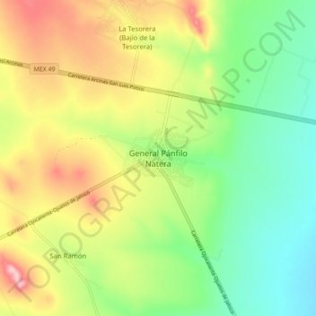
Name: General Pánfilo Natera topographic map, elevation, terrain.
Location: General Pánfilo Natera, Zacatecas, México (22.62419 -102.14981 22.70419 -102.06981)
Average elevation: 2,116 m
Minimum elevation: 2,037 m
Maximum elevation: 2,230 m