
Thank you for supporting this site ❤️
Make a donation
Make a donation
San Antonio topographic map
Click on the map to display elevation.
Thank you for supporting this site ❤️
Make a donation
Make a donation
About this map
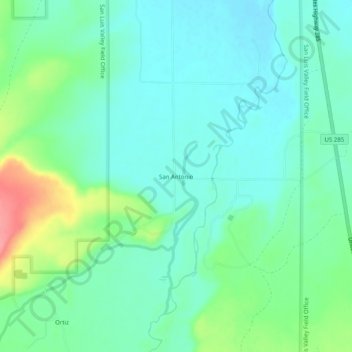
Name: San Antonio topographic map, elevation, terrain.
Location: San Antonio, Conejos County, Colorado, United States (37.00073 -106.04793 37.04073 -106.00793)
Average elevation: 2,432 m
Minimum elevation: 2,409 m
Maximum elevation: 2,497 m
Thank you for supporting this site ❤️
Make a donation
Make a donation
Other topographic maps
Click on a map to view its topography, its elevation and its terrain.