
Uttenthal topographic map
Interactive map
Click on the map to display elevation.
About this map
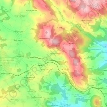
Name: Uttenthal topographic map, elevation, terrain.
Location: Uttenthal, Prambachkirchen, Bezirk Eferding, 4731, Österreich (48.29903 13.91410 48.33903 13.95410)
Average elevation: 393 m
Minimum elevation: 295 m
Maximum elevation: 490 m