
Bierton topographic map
Interactive map
Click on the map to display elevation.
About this map
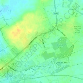
Name: Bierton topographic map, elevation, terrain.
Location: Bierton, Buckinghamshire, South East, England, United Kingdom (51.82668 -0.79329 51.83641 -0.77390)
Average elevation: 86 m
Minimum elevation: 75 m
Maximum elevation: 101 m