
Riva del Po topographic map
Interactive map
Click on the map to display elevation.
About this map
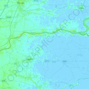
Name: Riva del Po topographic map, elevation, terrain.
Location: Riva del Po, Unione Terre e Fiumi, FE, EMR, Itália (44.89331 11.72305 44.98694 12.11394)
Average elevation: 1 m
Minimum elevation: -6 m
Maximum elevation: 19 m