
Khatu topographic map
Click on the map to display elevation.
About this map
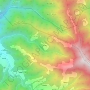
Name: Khatu topographic map, elevation, terrain.
Location: Khatu, Chachyot, Mandi District, Himachal Pradesh, India (31.47651 77.09593 31.51651 77.13593)
Average elevation: 2,474 m
Minimum elevation: 1,894 m
Maximum elevation: 3,159 m