
Edgar topographic map
Click on the map to display elevation.
About this map
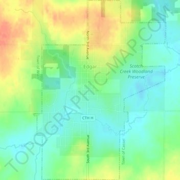
Name: Edgar topographic map, elevation, terrain.
Location: Edgar, Marathon County, Wisconsin, United States (44.90896 -89.97620 44.93777 -89.94631)
Average elevation: 390 m
Minimum elevation: 372 m
Maximum elevation: 417 m