
Triac topographic map
Click on the map to display elevation.
About this map
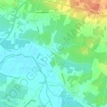
Name: Triac topographic map, elevation, terrain.
Average elevation: 25 m
Minimum elevation: 10 m
Maximum elevation: 60 m
Other topographic maps
Click on a map to view its topography, its elevation and its terrain.
Château de Triac
France > Nouvelle-Aquitaine > Charente > Triac-Lautrait > Triac
Average elevation: 21 m