
Thank you for supporting this site ❤️
Make a donation
Make a donation
Turkey Point topographic map
Click on the map to display elevation.
Thank you for supporting this site ❤️
Make a donation
Make a donation
About this map
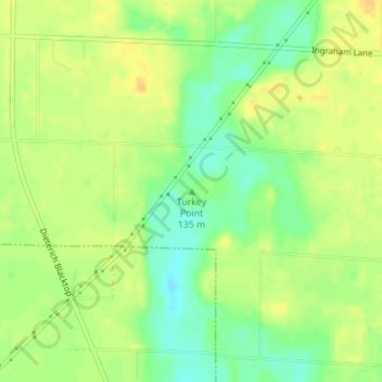
Name: Turkey Point topographic map, elevation, terrain.
Location: Turkey Point, Clay County, Illinois, United States (38.82694 -88.36398 38.82704 -88.36388)
Average elevation: 146 m
Minimum elevation: 130 m
Maximum elevation: 156 m
Thank you for supporting this site ❤️
Make a donation
Make a donation
Other topographic maps
Click on a map to view its topography, its elevation and its terrain.