
Mandritsara topographic map
Interactive map
Click on the map to display elevation.
About this map
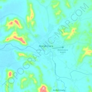
Name: Mandritsara topographic map, elevation, terrain.
Location: Mandritsara, Sofia, Province de Mahajanga, Madagaskar (-15.88345 48.78745 -15.80345 48.86745)
Average elevation: 324 m
Minimum elevation: 289 m
Maximum elevation: 533 m