
Selu topographic map
Interactive map
Click on the map to display elevation.
About this map
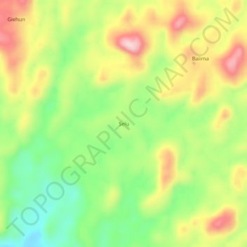
Name: Selu topographic map, elevation, terrain.
Location: Selu, Bo District, Southern Province, Sierra Leone (8.22973 -11.61905 8.26973 -11.57905)
Average elevation: 237 m
Minimum elevation: 119 m
Maximum elevation: 373 m