
Mulasagaram topographic map
Click on the map to display elevation.
About this map
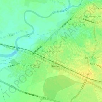
Name: Mulasagaram topographic map, elevation, terrain.
Location: Mulasagaram, Nandyal, Andhra Pradesh, 518503, India (15.45404 78.44855 15.49404 78.48855)
Average elevation: 209 m
Minimum elevation: 198 m
Maximum elevation: 220 m