
Koulamoutou topographic map
Interactive map
Click on the map to display elevation.
About this map
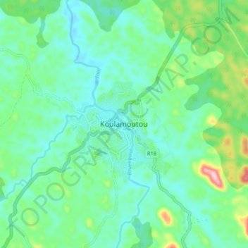
Name: Koulamoutou topographic map, elevation, terrain.
Location: Koulamoutou, Ogooué-Lolo, Gabon (-1.17400 12.42727 -1.09400 12.50727)
Average elevation: 301 m
Minimum elevation: 252 m
Maximum elevation: 461 m