
Thank you for supporting this site ❤️
Make a donation
Make a donation
Canyon Falls topographic map
Click on the map to display elevation.
Thank you for supporting this site ❤️
Make a donation
Make a donation
About this map
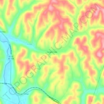
Name: Canyon Falls topographic map, elevation, terrain.
Location: Canyon Falls, Lee County, Kentucky, United States (37.55648 -83.59741 37.59648 -83.55741)
Average elevation: 270 m
Minimum elevation: 197 m
Maximum elevation: 341 m
Thank you for supporting this site ❤️
Make a donation
Make a donation
Other topographic maps
Click on a map to view its topography, its elevation and its terrain.