
Jefferson County topographic map
Interactive map
Click on the map to display elevation.
About this map
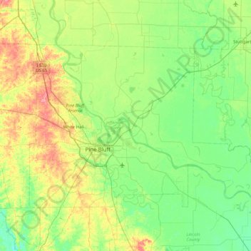
Name: Jefferson County topographic map, elevation, terrain.
Location: Jefferson County, Arkansas, États-Unis (34.06234 -92.23322 34.49281 -91.43135)
Average elevation: 68 m
Minimum elevation: 41 m
Maximum elevation: 135 m