
Rantau Panjang topographic map
Interactive map
Click on the map to display elevation.
About this map
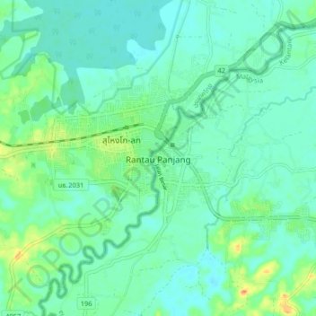
Name: Rantau Panjang topographic map, elevation, terrain.
Location: Rantau Panjang, Pasir Mas, Kelantan, Malaysia (5.97812 101.93282 6.05812 102.01282)
Average elevation: 12 m
Minimum elevation: 2 m
Maximum elevation: 41 m