
Kau To topographic map
Click on the map to display elevation.
About this map
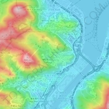
Name: Kau To topographic map, elevation, terrain.
Location: Kau To, Sha Tin District, New Territories, Hong Kong, China (22.39013 114.18257 22.43013 114.22257)
Average elevation: 106 m
Minimum elevation: -4 m
Maximum elevation: 384 m