
Emory topographic map
Click on the map to display elevation.
About this map
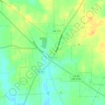
Name: Emory topographic map, elevation, terrain.
Location: Emory, Rains County, Texas, United States (32.86036 -95.78479 32.89155 -95.74710)
Average elevation: 149 m
Minimum elevation: 134 m
Maximum elevation: 166 m