
Wendling topographic map
Interactive map
Click on the map to display elevation.
About this map
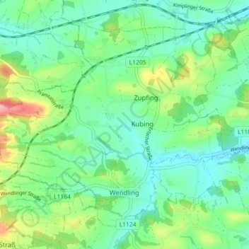
Name: Wendling topographic map, elevation, terrain.
Location: Wendling, Bezirk Grieskirchen, 4741, Austria (48.22414 13.62398 48.26367 13.69473)
Average elevation: 414 m
Minimum elevation: 384 m
Maximum elevation: 487 m
Other topographic maps
Click on a map to view its topography, its elevation and its terrain.