
Thank you for supporting this site ❤️
Make a donation
Make a donation
Three Canyon Rapids topographic map
Click on the map to display elevation.
Thank you for supporting this site ❤️
Make a donation
Make a donation
About this map
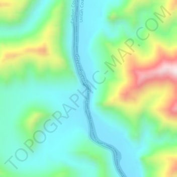
Name: Three Canyon Rapids topographic map, elevation, terrain.
Location: Three Canyon Rapids, Carbon County, Utah, United States (39.50658 -110.02325 39.50668 -110.02315)
Average elevation: 1,511 m
Minimum elevation: 1,338 m
Maximum elevation: 1,950 m
Thank you for supporting this site ❤️
Make a donation
Make a donation
Other topographic maps
Click on a map to view its topography, its elevation and its terrain.