
Thank you for supporting this site ❤️
Make a donation
Make a donation
Cité Chevalière topographic map
Click on the map to display elevation.
Thank you for supporting this site ❤️
Make a donation
Make a donation
About this map
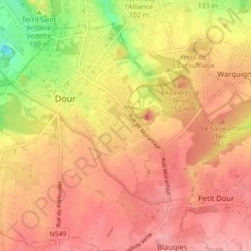
Name: Cité Chevalière topographic map, elevation, terrain.
Location: Cité Chevalière, Dour, Mons, Hainaut, Wallonie, 7370, Belgique (50.37205 3.77375 50.41205 3.81375)
Average elevation: 104 m
Minimum elevation: 35 m
Maximum elevation: 140 m
Thank you for supporting this site ❤️
Make a donation
Make a donation