
Thank you for supporting this site ❤️
Make a donation
Make a donation
Mandriole topographic map
Click on the map to display elevation.
Thank you for supporting this site ❤️
Make a donation
Make a donation
About this map
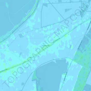
Name: Mandriole topographic map, elevation, terrain.
Location: Mandriole, Ravenna, Emilia-Romagna, Italia (44.53230 12.20175 44.57230 12.24175)
Average elevation: 0 m
Minimum elevation: -4 m
Maximum elevation: 4 m
Thank you for supporting this site ❤️
Make a donation
Make a donation