
Thank you for supporting this site ❤️
Make a donation
Make a donation
Aragats topographic map
Click on the map to display elevation.
Thank you for supporting this site ❤️
Make a donation
Make a donation
About this map
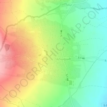
Name: Aragats topographic map, elevation, terrain.
Location: Aragats, Aparan community, Aragatsotn Province, Armenia (40.47978 44.33240 40.49844 44.36685)
Average elevation: 1,953 m
Minimum elevation: 1,891 m
Maximum elevation: 2,032 m
Thank you for supporting this site ❤️
Make a donation
Make a donation
Other topographic maps
Click on a map to view its topography, its elevation and its terrain.