
Robeson County topographic map
Interactive map
Click on the map to display elevation.
About this map
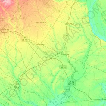
Name: Robeson County topographic map, elevation, terrain.
Location: Robeson County, Caroline du Nord, États-Unis d'Amérique (34.29934 -79.46151 34.95272 -78.80543)
Average elevation: 44 m
Minimum elevation: 10 m
Maximum elevation: 120 m