
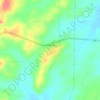
La Pedrera topographic map
Interactive map
Click on the map to display elevation.
About this map
Name: La Pedrera topographic map, elevation, terrain.
Location: La Pedrera, Cerro Largo, 37000, Uruguay (-32.38944 -54.08662 -32.38499 -54.08062)
Average elevation: 109 m
Minimum elevation: 85 m
Maximum elevation: 157 m