
Thank you for supporting this site ❤️
Make a donation
Make a donation
Montgó topographic map
Click on the map to display elevation.
Thank you for supporting this site ❤️
Make a donation
Make a donation
About this map
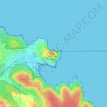
Name: Montgó topographic map, elevation, terrain.
Location: Montgó, l'Escala, Upper Empordà, Girona, Catalonia, 17130, Spain (42.11075 3.17397 42.11085 3.17407)
Average elevation: 17 m
Minimum elevation: -1 m
Maximum elevation: 109 m
Thank you for supporting this site ❤️
Make a donation
Make a donation