
Thank you for supporting this site ❤️
Make a donation
Make a donation
Golo topographic map
Click on the map to display elevation.
Thank you for supporting this site ❤️
Make a donation
Make a donation
About this map
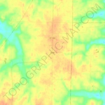
Name: Golo topographic map, elevation, terrain.
Location: Golo, Graves County, Kentucky, United States (36.71895 -88.51532 36.75895 -88.47532)
Average elevation: 152 m
Minimum elevation: 127 m
Maximum elevation: 166 m
Thank you for supporting this site ❤️
Make a donation
Make a donation
Other topographic maps
Click on a map to view its topography, its elevation and its terrain.