
Mantigue Island Nature Park topographic map
Interactive map
Click on the map to display elevation.
About this map
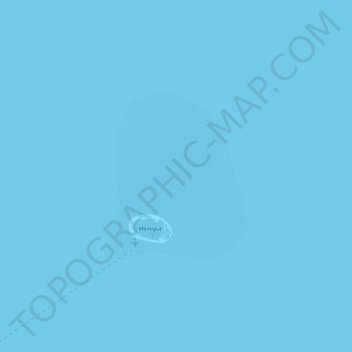
Name: Mantigue Island Nature Park topographic map, elevation, terrain.
Average elevation: 0 m
Minimum elevation: 0 m
Maximum elevation: 0 m
Other topographic maps
Click on a map to view its topography, its elevation and its terrain.
Hubangon
Philippines > Camiguin > Mahinog
Hubangon, Mahinog, Camiguin, Northern Mindanao, 9101, Philippines
Average elevation: 63 m