
Nufels topographic map
Interactive map
Click on the map to display elevation.
About this map
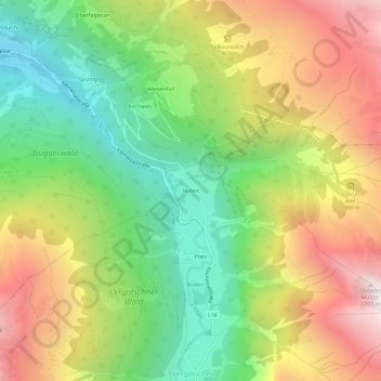
Name: Nufels topographic map, elevation, terrain.
Location: Nufels, Kaunertal, Bezirk Landeck, 6524, Österreich (47.04014 10.73122 47.08014 10.77122)
Average elevation: 1,771 m
Minimum elevation: 1,020 m
Maximum elevation: 2,716 m