
Thank you for supporting this site ❤️
Make a donation
Make a donation
Rottumeroog topographic map
Click on the map to display elevation.
Thank you for supporting this site ❤️
Make a donation
Make a donation
About this map
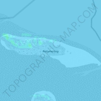
Name: Rottumeroog topographic map, elevation, terrain.
Location: Rottumeroog, Warffum, Het Hogeland, Groningen, Netherlands (53.53301 6.57174 53.54250 6.61932)
Average elevation: 0 m
Minimum elevation: -2 m
Maximum elevation: 4 m
Thank you for supporting this site ❤️
Make a donation
Make a donation