
Davidson topographic map
Click on the map to display elevation.
About this map
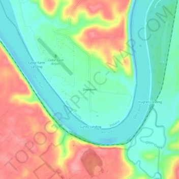
Name: Davidson topographic map, elevation, terrain.
Location: Davidson, Harrison County, Indiana, United States (37.94757 -86.06719 37.98757 -86.02719)
Average elevation: 156 m
Minimum elevation: 116 m
Maximum elevation: 215 m
Other topographic maps
Click on a map to view its topography, its elevation and its terrain.