
Thank you for supporting this site ❤️
Make a donation
Make a donation
Puente Virú topographic map
Click on the map to display elevation.
Thank you for supporting this site ❤️
Make a donation
Make a donation
About this map
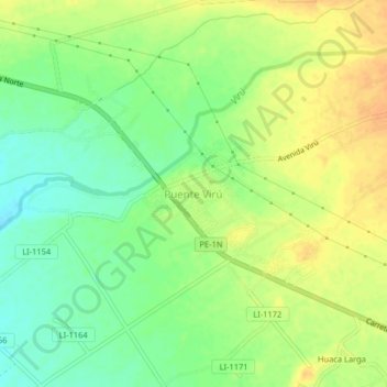
Name: Puente Virú topographic map, elevation, terrain.
Location: Puente Virú, Virú, La Libertad, Perú (-8.44445 -78.79921 -8.40445 -78.75921)
Average elevation: 57 m
Minimum elevation: 40 m
Maximum elevation: 72 m
Thank you for supporting this site ❤️
Make a donation
Make a donation