
Thank you for supporting this site ❤️
Make a donation
Make a donation
Piedmont topographic map
Click on the map to display elevation.
Thank you for supporting this site ❤️
Make a donation
Make a donation
About this map
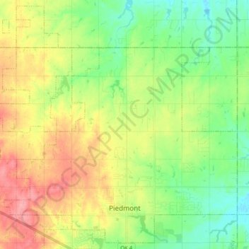
Name: Piedmont topographic map, elevation, terrain.
Location: Piedmont, Canadian County, Oklahoma, 73078, United States (35.62368 -97.83394 35.74757 -97.67394)
Average elevation: 362 m
Minimum elevation: 325 m
Maximum elevation: 414 m
Thank you for supporting this site ❤️
Make a donation
Make a donation