
Thank you for supporting this site ❤️
Make a donation
Make a donation
Lama Heru topographic map
Click on the map to display elevation.
Thank you for supporting this site ❤️
Make a donation
Make a donation
About this map
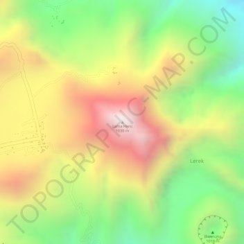
Name: Lama Heru topographic map, elevation, terrain.
Location: Lama Heru, Lerek, Lembata, East Nusa Tenggara, Indonesia (-8.51992 123.56329 -8.51982 123.56339)
Average elevation: 575 m
Minimum elevation: 104 m
Maximum elevation: 1,040 m
Thank you for supporting this site ❤️
Make a donation
Make a donation