
Thank you for supporting this site ❤️
Make a donation
Make a donation
Slick topographic map
Click on the map to display elevation.
Thank you for supporting this site ❤️
Make a donation
Make a donation
About this map
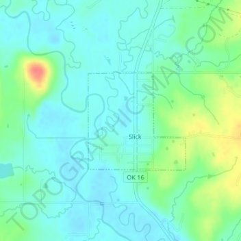
Name: Slick topographic map, elevation, terrain.
Location: Slick, Creek County, Oklahoma, 74071, United States (35.77326 -96.27260 35.78431 -96.25914)
Average elevation: 229 m
Minimum elevation: 214 m
Maximum elevation: 271 m
Thank you for supporting this site ❤️
Make a donation
Make a donation
Other topographic maps
Click on a map to view its topography, its elevation and its terrain.