
Thank you for supporting this site ❤️
Make a donation
Make a donation
Ghinda topographic map
Click on the map to display elevation.
Thank you for supporting this site ❤️
Make a donation
Make a donation
About this map
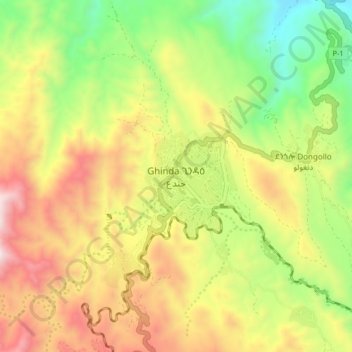
Name: Ghinda topographic map, elevation, terrain.
Location: Ghinda, Northen Red Sea Region, Eritrea (15.40532 39.05074 15.48532 39.13074)
Average elevation: 950 m
Minimum elevation: 414 m
Maximum elevation: 1,572 m
Thank you for supporting this site ❤️
Make a donation
Make a donation