
Thank you for supporting this site ❤️
Make a donation
Make a donation
KC Pur topographic map
Click on the map to display elevation.
Thank you for supporting this site ❤️
Make a donation
Make a donation
About this map
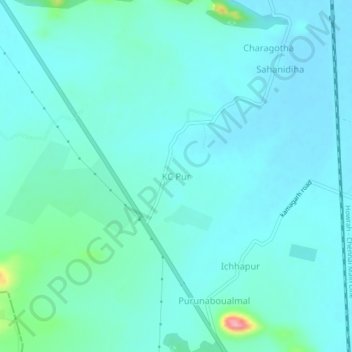
Name: KC Pur topographic map, elevation, terrain.
Location: KC Pur, Jenapur, Jajpur, Odisha, India (20.80209 86.03098 20.84209 86.07098)
Average elevation: 33 m
Minimum elevation: 16 m
Maximum elevation: 130 m
Thank you for supporting this site ❤️
Make a donation
Make a donation