
Mettet topographic map
Interactive map
Click on the map to display elevation.
About this map
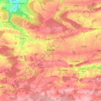
Name: Mettet topographic map, elevation, terrain.
Location: Mettet, Namur, Valonia, Bélgica (50.26129 4.58236 50.38005 4.76757)
Average elevation: 246 m
Minimum elevation: 132 m
Maximum elevation: 302 m