
Thank you for supporting this site ❤️
Make a donation
Make a donation
Drobonso topographic map
Click on the map to display elevation.
Thank you for supporting this site ❤️
Make a donation
Make a donation
About this map
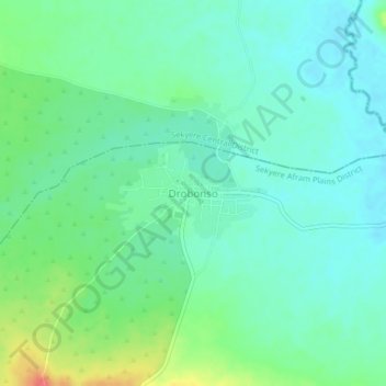
Name: Drobonso topographic map, elevation, terrain.
Location: Drobonso, Sekyere Afram Plains District, Ashanti Region, Ghana (7.04417 -1.14437 7.08417 -1.10437)
Average elevation: 111 m
Minimum elevation: 94 m
Maximum elevation: 153 m
Thank you for supporting this site ❤️
Make a donation
Make a donation