
Malatuneng topographic map
Click on the map to display elevation.
About this map
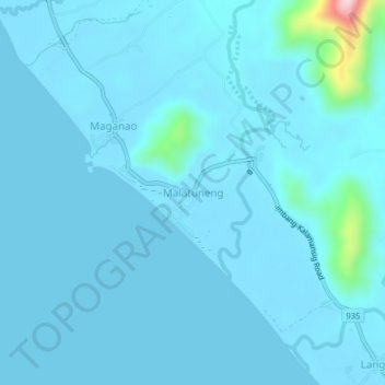
Name: Malatuneng topographic map, elevation, terrain.
Location: Malatuneng, Sultan Kudarat, Soccsksargen, Philippines (6.29671 124.09935 6.33671 124.13935)
Average elevation: 18 m
Minimum elevation: 0 m
Maximum elevation: 308 m
Other topographic maps
Click on a map to view its topography, its elevation and its terrain.