
Thank you for supporting this site ❤️
Make a donation
Make a donation
Jackass Mountain topographic map
Click on the map to display elevation.
Thank you for supporting this site ❤️
Make a donation
Make a donation
About this map
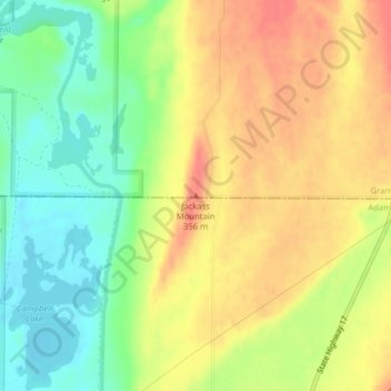
Name: Jackass Mountain topographic map, elevation, terrain.
Location: Jackass Mountain, Grant County, Washington, United States (46.91231 -119.15617 46.91241 -119.15607)
Average elevation: 328 m
Minimum elevation: 297 m
Maximum elevation: 356 m
Thank you for supporting this site ❤️
Make a donation
Make a donation
Other topographic maps
Click on a map to view its topography, its elevation and its terrain.