
Thank you for supporting this site ❤️
Make a donation
Make a donation
Nile topographic map
Click on the map to display elevation.
Thank you for supporting this site ❤️
Make a donation
Make a donation
About this map
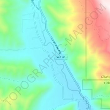
Name: Nile topographic map, elevation, terrain.
Location: Nile, Yakima County, Washington, United States (46.81525 -120.95741 46.85695 -120.92484)
Average elevation: 806 m
Minimum elevation: 594 m
Maximum elevation: 1,379 m
Thank you for supporting this site ❤️
Make a donation
Make a donation